By Kris Pieper
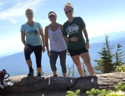
The sun is shining and the snow is melting – summer hiking season is almost upon us! Are you looking to try out some new trails this year? The Cohos Trail may be known primarily for its thru-hiking experience, but it is made up of a great many smaller trail sections that are perfect for day hikes or a bit of afternoon exploring whenever you’ve got the time. With that said, here are some of our favorite day hikes along the CT.
Cherry Mountain – Owls Head/Mt. Martha
The Owls Head trailhead is just off Route 115 in Jefferson, across the road from the kiosk for the Slide Brook Trail. Park at the lot and head down the footpath, maintained by the Randolph Mountain Club, as it meanders through the woods for a while before beginning a moderate climb. After a good hour’s uphill pull, the trail becomes quite steep until you reach the expansive summit ledges with their spectacular view eastward to the wall of the northern Presidential Range. Want more? Drop down Martha’s Mile and make the quick climb to the summit of Mt. Martha and its view of the Franconia Range from just below the former site of an old fire tower.
Pondicherry Wildlife Refuge
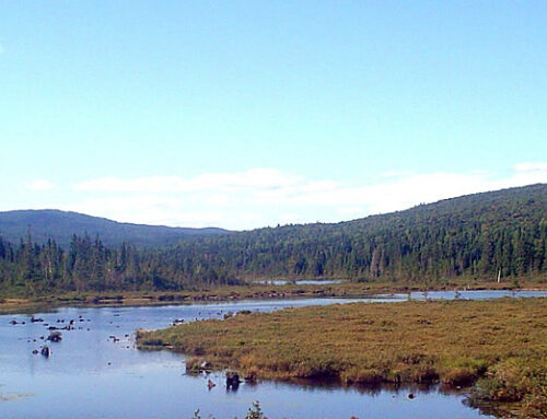
The 6,000-acre Pondicherry Wildlife Refuge is a gem of a wetland reserve, the remains of a glacial lake bottom. Here, the trails thread their way through exceptional wildlife habitat and hikers can often spot numerous bird species among the ponds and great marshes, not to mention the majestic peaks and ranges surrounding the refuge. For the full Pondicherry experience, drop a car at the Col. Whipple trailhead off Whipple Road in Jefferson and make your way to the Owls Head trailhead (mentioned above). Head down the Slide Brook Trail to the Presidential Range Rail Trail, which runs west to the spectacular Cherry Pond. Meander around the pond with a stop at the wildlife viewing station before taking the out-and-back loop to Little Cherry Pond. Then, follow the Ice Ramparts Trail and Col. Whipple Trail a couple miles back to your car.
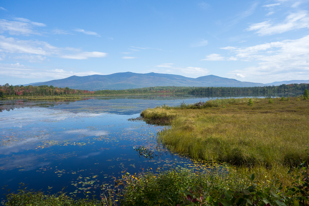
One of the many views to be found in Pondicherry. Photo courtesy of Kristin McLane
North Percy Peak Loop
The Cohos Trail Association built or restored a number of trails on the conspicuous and steep Percy Peaks in the Nash Stream Forest north of the White Mountains. You can make a half-day loop hike to North Percy Peak by following the Percy Loop Trail to the upper end of the Percy Peaks Trail. Ascend to the bald summit and blueberry barrens atop North Percy. On the way down, get back to the Percy Peaks Trail and descend into the valley to the Nash Stream Road. Turn north (right) and walk back to your car, a mile away at the Percy Loop trailhead.
Mt. Sugarloaf
There are a good number of mountains named Sugarloaf in New England, but this one is in the Nash Stream Forest at Mile 9 on the Nash Stream Road. Cross the big bridge over Nash Stream and locate the trailhead on the left 100 feet beyond the bridge. Walk uphill past a camp and pace through a little field. Reach a junction. Stay to the right and begin a moderately steep ascent of the 3,700-footer, pulling steadily uphill the entire way. Pass the old fire warden’s rotting camp and soon reach the summit ledges with their sweeping vistas in all directions.
Dixville Notch Loop (Dixville Notch Heritage Trail)
Some of the most dramatic scenery that can be had in the Northeast resides in Dixville Notch. The mountains and high ridges carry a system of trails known as the Dixville Notch Heritage Trail that continuously reach cliff faces and can be strung together to form a magnificent 5.1-mile loop hike around the state park. The pathways include the famed Table Rock Trail, the Three Brothers Trail/Huntington Cascade Trail, Flume Brook Trail, and the Sanguinary Ridge Trail. There are several trailheads and parking areas to take advantage of. Hikers should stay off the private property around the closed Balsams Resort.
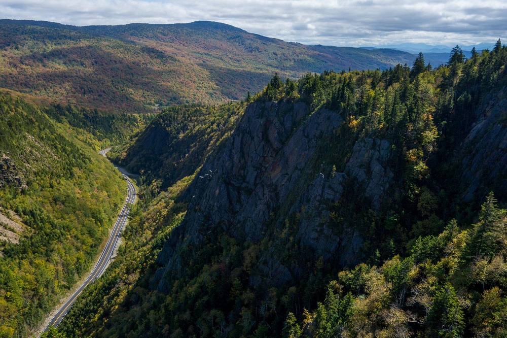
Looking down into Dixville Notch. Photo courtesy of Kristin McLane
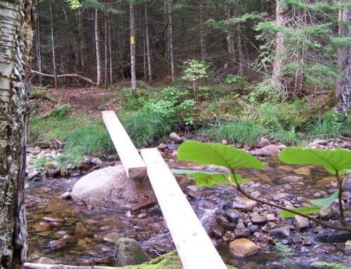
Falls in the River Trail
One of the most popular trails we have developed in the entire region is the Falls in the River Trail. Begin at Second Connecticut Lake Dam and walk south into the woods. This is an easy woods walk along the wild Connecticut River. It reaches quiet backwaters and chattering streams, but the real prize is a big granite shelf that juts out into the roaring falls in the river above a narrow gorge and turbulent flume of foaming water.
Fourth Connecticut Lake Trail
The Cohos Trail system ends on the short but briefly steep Fourth Connecticut Lake Trail, protected by the Nature Conservancy. It reaches the little two-acre fen high on Prospect Hill that is the headwaters source of the mighty Connecticut River. The pathway reaches the little pond in less than half an hour, but the trail makes a complete circuit around the watery environment in true boreal forest.
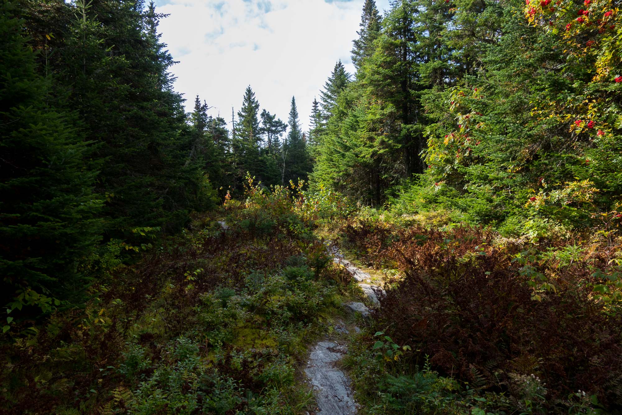
The Cohos Trail winds its way along the U.S.-Canadian border toward Fourth Connecticut Lake. Photo courtesy of Kristin McLane
These are just a few suggestions; you can of course spend a day exploring any section of the trail, as long as you leave enough time to get back to your car! Now get out there and enjoy the woods.