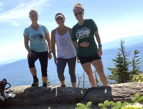
By Kim Nilsen
Each year we try to inform the Cohos Trail universe of potential trouble spots to watch for along the trail system between Crawford Notch and Fourth Connecticut Lake on the boundary with Canada. Here is a rundown of rough edges you may encounter out there in 2021 – from blowdowns and thick grass to logging operations and bridges in need of repairs.
SPRING 2021 LOGGING NEAR COLEMAN STATE PARK
As of February 16, 2021, logging operations are planned for the winter and early spring in Stewartstown township. Hikers must use caution while traveling the Cohos Trail in the Coleman State Park region. Active logging can pose an extreme hazard to a hiker. Approach all logging equipment and trucks with caution. Please gain visual attention and acknowledgement from all machine operators encountered. Do not assume they can see you. Although the actual impact of this logging operation on the Cohos Trail should be minimal, the routes used to move out the logs are along parts of our trail.
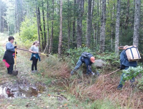
Please remember the North Country is a working forest and is a major part of the economy and life of Coos County. The Cohos Trail runs right through large private and governmental woodland properties that are often harvested. Respecting property rights is required of our hikers, and our future ability to hike on these lands relies on your actions.
DAVIS PATH
On the Davis Path between Giant Stairs and Mt. Davis, there are stretches where the spruce and fir are narrowing the route as branch tips stretch horizontally to take advantage of any sunlight filtering through.
ISOLATION TRAIL
The western leg of the Isolation Trail has been a challenge on and off for trekkers for two decades, but heavily erosive storms, including Hurricane Irene and intense tropical lows, have scoured the trail to the point where walking in water at times is assured and the footing is not ideal. Isolation Trail was rerouted a bit a decade ago, but increasing precipitation and outright deluges have conspired to cause washouts despite efforts by the Forest Service to modify the impact of bad weather.
DRY RIVER CROSSING
Never lose sight of the fact that Dry River is the most dangerous stream crossing on the Cohos Trail route. If you approach Dry River when the water is raging, think twice about attempting a crossing. Two people have died in that spot in the last 50 years, having been swept downstream. Best to retreat to the heights and make the big swing around the upper Dry River Wilderness on the northern Davis Path and Crawford Path above timberline, or at least move upstream a good distance to try to find a crossing where you can easily rock hop across.
BLOWDOWNS IN THE KILKENNY
If you are hiking early in the season, before July 4th, you may encounter late fall blowdowns, as the North Country was hammered with high winds in November. The Kilkenny Ridge Trail, crippled several years ago by extensive tree damage, may very well present a challenge early on. Between Mt. Waumbek and Mt. Weeks, the ridges are highly exposed to severe winds funneling between the northern Presidential Range and the Crescent and Pliny Ranges. Wind speeds can easily reach hurricane force in that corridor, and the Kilkenny Ridge Trail in that environment is always the worse for it.
POND BROOK CROSSING
The stream crossing at Pond Brook on the Pond Brook Falls Trail can be dicey if the water is exceptionally high. Move upstream to find a suitable spot, or descend on the Trio Ponds Road (if northbound) or down to the Nash Stream Road (if southbound) and walk to the intersection of those two roads and make the fairly short loop road walk to get around the troubled waters.
BAD BRIDGE IN DIXVILLE NOTCH
The bridge over a branch of Clear Stream in the Dixville Wayside (south side of Route 26 in Dixville Notch) had a broken stringer under the deck. The bridge was removed for repair and has not yet been reinstalled. Cross the stream on foot, using caution, as the crossing can be tricky in high water.
BIG BROOK BRIDGE
The bridge over Big Brook in Pittsburg (near the junction between Moose Alley Trail and Falls in the River Trail) is in need of repairs and should be navigated with extreme caution. TCTA plans to replace this bridge in Summer 2021 and may install a temporary crossing nearby while repairs are underway.
HIGH GRASS
Some lengths of the Cohos Trail, particularly north of Route 26, are on old logging tote lanes or skidder paths, snowmobile corridors, and in logging cuts. Grasses grow in and dew forms readily to create wet going in the morning or anytime it rains. The best defense is to carry three or four changes of socks.
Be safe and smart out there. Plan well if thru-hiking. And have a grand ole time on the mighty Cohos Trail.